
Artifact Detail
Print
Plan
 Plan |
 Plan Detail |
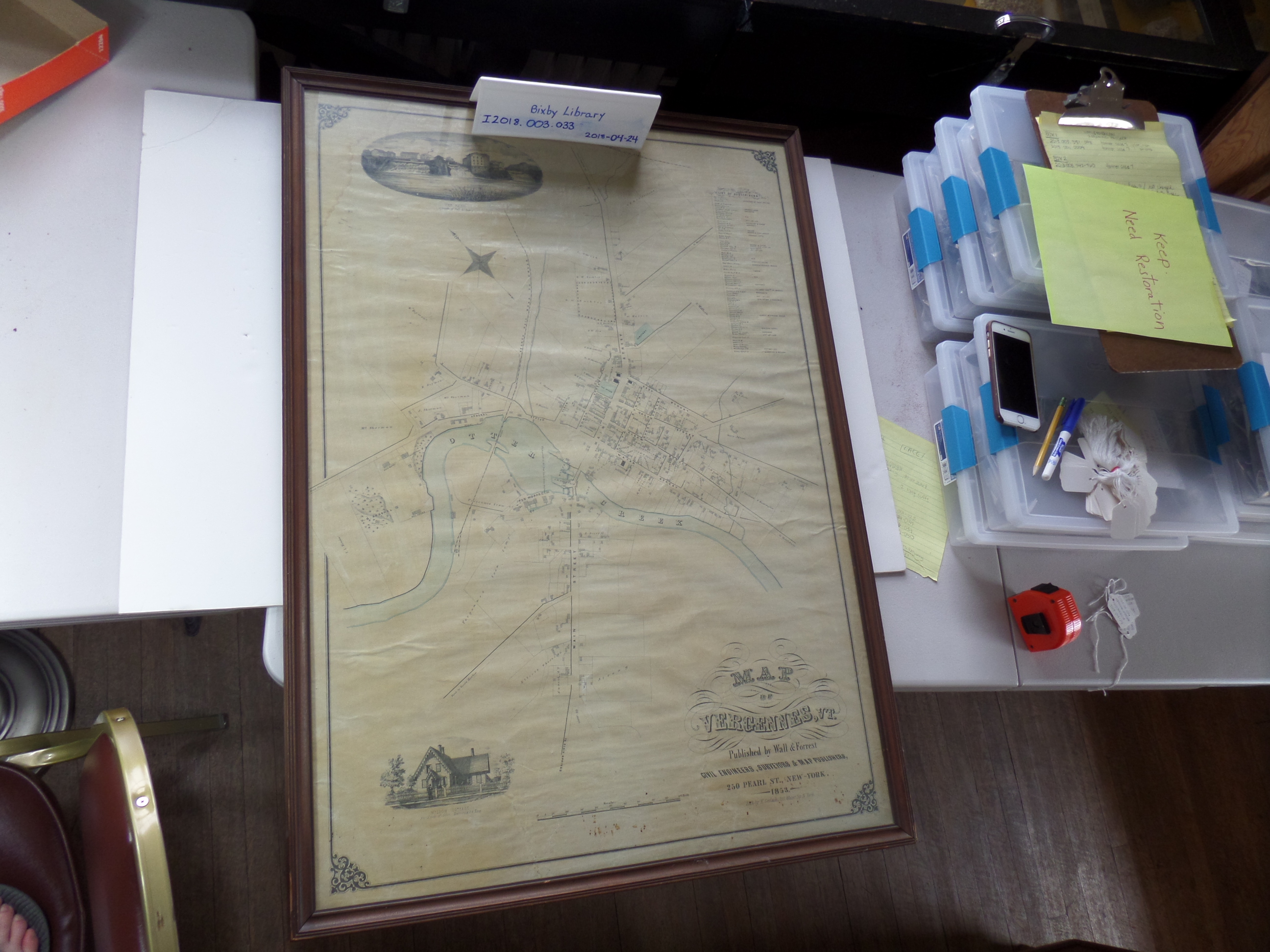
| Artifact #: I2018.003.033 Dimensions: H 4 X W 58 X L 94 cm Weight: 200+ Medium: paper Condition: Fair; Debris along the bottom border; water stain in top left corner; and it is creased Condition Report Year: 2018 |
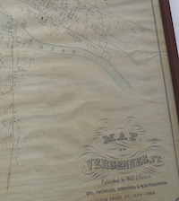
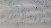
Description: Aerial view map of the city of Vergennes, Vermont in 1853 showing landowners and businesses Inscription/Marks: MAP OF VERGENNES, VT Published by Wall & Forrest CIVIL ENGINEERS, SURVEYORS & MAP PUBLISHERS 250 Pearl St., New-York 1853. Lith. by H. Gerlac, 120 Water St., N.York. Date/Period: 1853 Provenance: New York City Maker/Artist: H. Gerlac Maker/Artist Dates: No information available Maker Birthplace: No information available Maker Nationality: No information available Source: No information available |